
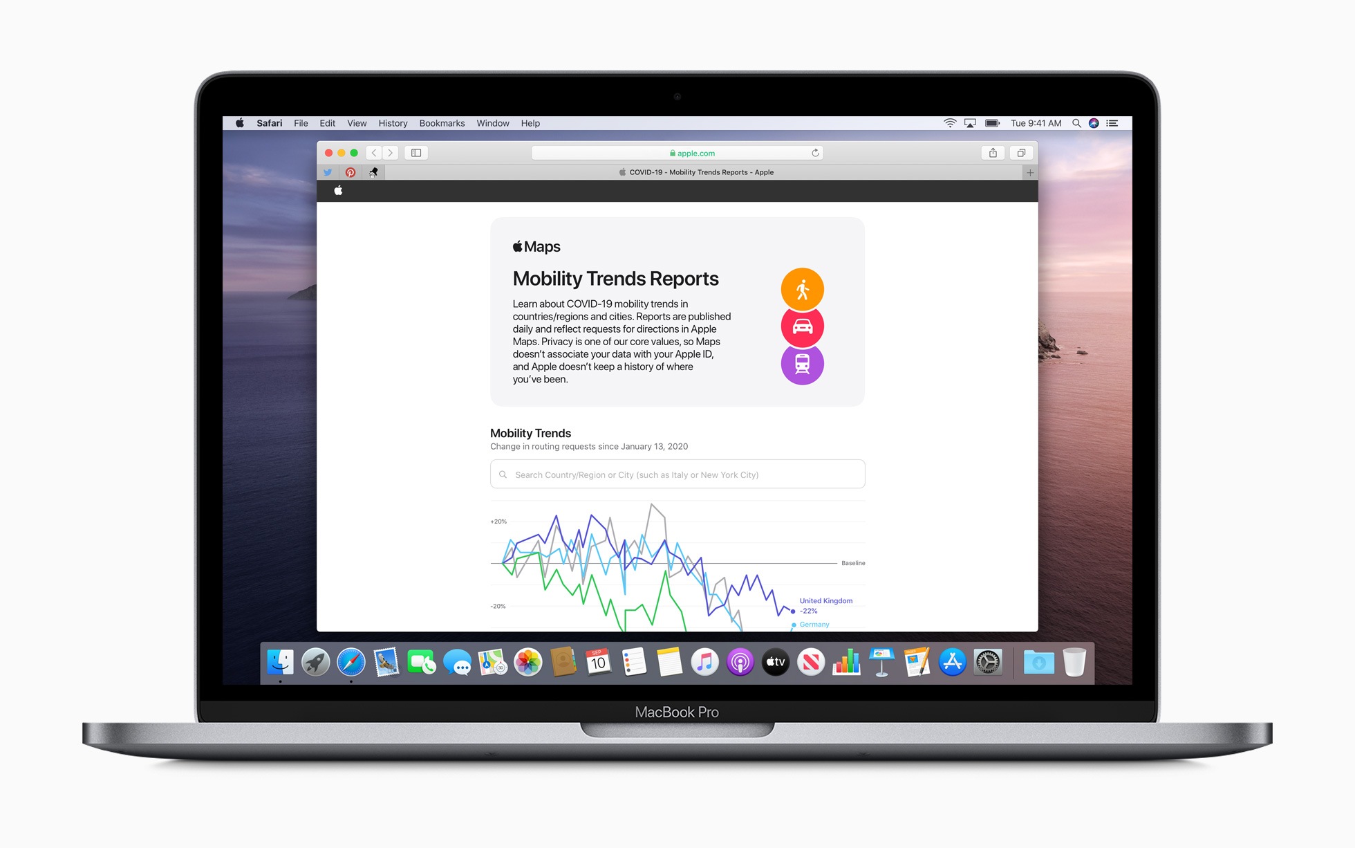
In mid-April, Apple provided a tool that allows access to the mobility data from Apple Maps. Now the company has expanded this data.
The mobility data provided by Apple is intended to help contain the spread of COVID-19. It provides useful insights that governments can take into account in future decisions. The tool is accessible to everyone and can be filtered by country, region or city. At the time of publication, the most important cities and around 63 counties or regions worldwide were available. Now the US blog 9to5mac found that Apple has expanded the database enormously. All US states and another 530 provinces have now been added.
How is the data generated?
The data provided by Apple comes from Maps. This is generated by requests to Apple Maps for directions from users within the app and is summarized anonymously. Apple has already emphasized that the map service links the stored data with random, rotating identifiers, so that the company cannot create movement or search query profiles of users. Interested parties can use the tools View changes in route guidance requests from January 13, 2020 to today. The dataset can also be downloaded as a CSV file. (Image: Apple)